Barnes/Chiswick Thames walk
A leisurely walk (riverside) in City of London, England, about 7.90km (4.91 mi) long with an estimated walking time of about 2:15h. It is suitable for families with children, prams & pushchairs, wheelchairs.
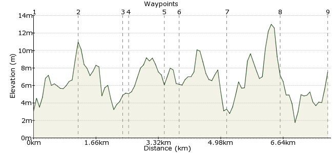
Elevation Profile
Ascent
15m (49ft)
Descent
10m (32ft)
Max. Elevation
20m (65ft)
Altitude Gain & Loss
25m (81ft)
Start & End
Hammersmith Bridge, London
Distance
7.90km
(4.91mi)
(4.91mi)
Duration
~2:15h
Difficulty
Leisurely
Ordnance Survey Map
Start on either bank of the Thames at Hammersmith Bridge. The south bank takes you through trees, past the Leg O Mutton nature reserve and into Barnes (tea and coffee stops as well as pond and Common). Then, a choice. Either cross the Thames using the Barnes railway bridge footway and turn back towards Hammersmith, walking past the old bandstand and along Chiswick Mall's seasidey houses, stopping at the Dove pub for a half and a real fire. Or continue past the Mortlake brewery and cross the Thames at the Boat Race finish line and continue back past allotments and a couple of boat houses. Simply follow the road to pass under the railway when you approach Barnes bridge and pick up the earlier return route.Â
Walk Functions
Share
Nearby Walks
Parks, palaces and Portobello Road
A leisurely, linear walk (city/town) starting in City of London, England, about 7.00km (4.35 mi) long, duration: ~2:00h.Richmond Park and beyond
A moderate, linear walk (countryside) starting in Surrey, England, about 11.90km (7.39 mi) long, duration: ~3:30h.Brentford to Marble Hill House
A leisurely, linear walk (riverside) starting in City of London, England, about 6.40km (3.98 mi) long, duration: ~1:45h.Walk Map
- $walk->POI array(0)
Waypoints
OS Grid TQ228780
Start the walk at the southwestern end of the bridge and head west between the river and the playing fields.
OS Grid TQ217776
Take a slight detour inland to walk along the lake.
About 1.20 km (~0.75 miles) from 
OS Grid TQ215764
Turn up the High St for shops and cafes and continue to the Pond, Arts Centre, pubs and 209 bus to the Red Lion stop alighting for the Wetlands if time is plentiful.
About 1.17 km (~0.73 miles) from 
OS Grid TQ214763
The view from here is a joy whether the tide is in or out. Watch the hardy rowers straining their oars against the water.
About 0.17 km (~0.11 miles) from 
OS Grid TQ205760
A couple of old warehouses mark the more interesting parts of the brewery site, due to close and be redeveloped in the years to come. The path continues right by the river, but you should bewearing good shoes to cope with mud left by a very high tide.
About 0.88 km (~0.55 miles) from 
OS Grid TQ202762
You'll have passed the finish line for the University Boat Race and now you cross the road bridge and descend to the north bank path. The walk takes you past allotments, sports grounds and a couple of rowing clubs. Follow the road under the railway and slightly away from the river before climbing the steps back up to Barnes railway bridge or continue along the river eastwards (leaving the Riverside health club to your left.)
About 0.36 km (~0.22 miles) from 
OS Grid TQ214766
Children enjoy walking along the different levels of he terracing which flanks the river bank by the bandstand, which sometimes hosts impromptu picnics. Continue along the path past houses and flats overlooking the river, and the RNLI boat moored there.
About 1.28 km (~0.8 miles) from 
OS Grid TQ217779
Another brewery sits right by the river, and beware at Chiswick Eyot (ait) if the tide's rising.The island changes character with the height of the water. This is the start of the part of the walk which reminds me of the seaside.
About 1.31 km (~0.81 miles) from 
 Hammersmith Bridge
OS Grid TQ229782
Now, having passed a few promising-looking pubs, which also serve coffee and food, you've reached Hammersmith Bridge again.
About 1.21 km (~0.75 miles) from 
