Waterways walk from London
A car free, circular long distance walk of about 150 miles from the edge of England's capital
This car free long distance path starts in rural Oxfordshire then follows the Grand Union Canal, which has a close-knit narrowboat community, into the Chilterns before winding through the suburbs of London. It crosses the playing fields of Eton to join the Thames Path which meanders all the way back to Oxford.
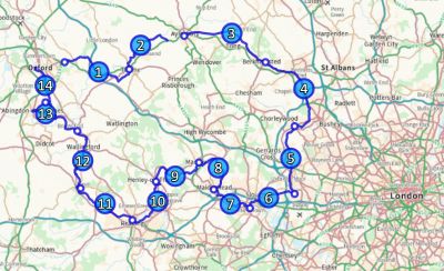
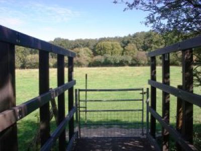
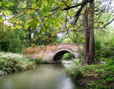
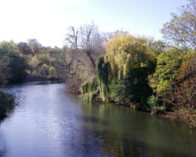
The route passes over and under bridges of every kind, through country parks, idyllic villages with thatched cottages, grand estates and historic market towns like Aylesbury, Henley-on-Thames and Wallingford. The lakes, chalk rivers and water meadows are home to a diversity of wildlife, and traditional waterside pubs provide welcome refreshment.
Most stages of the walk start and end at train stations. Those that don’t are served either by the X40 express bus which runs between Reading and Oxford or the X20 between Oxford and Aylesbury. This enables each stage to be completed in a day trip from all the towns en route. Intermediate stations and bus stops allow greater flexibility in the distances walked.
Visit railwaysandwaterwayswalk.co.uk for full information, printable instructions and GPX files. Our congratulations to Wendy for putting the website together.
