A River Gipping walk
A moderate walk (canal) starting and finishing in Suffolk, England, about 12.30km (7.64 mi) long with an estimated walking time of about 3:30h. It is unsuitable for families with children, prams & pushchairs, wheelchairs.
Elevation Profile
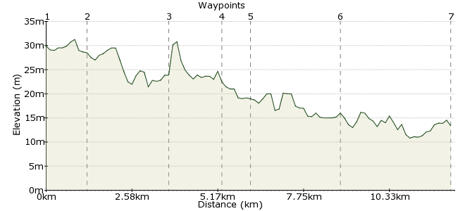
Ascent
0m (0ft)
Descent
17m (55ft)
Max. Elevation
40m (131ft)
Altitude Gain & Loss
17m (55ft)
Start
Stowmarket
End
Claydon
Distance
12.30km
(7.64mi)
(7.64mi)
Duration
~3:30h
Difficulty
Moderate
This walk along the River Gipping takes you through some traditionally lovely Suffolk countryside. It is part of a long distance path which continues to Ipswich (about 17 miles in total), but this end is the nicest for a more manageable day walk. It's easy navigation and nice and flat, making it perfect for families or those who just like to take things easy. Stowmarket has a station. Claydon Station is now closed, but there are regular buses from here back to Stowmarket and on to Ipswich.
Walk Functions
Share
Nearby Walks
Helmingham deer park
A leisurely, circular walk (countryside) starting in Suffolk, England, about 4.00km (2.49 mi) long, duration: ~1:00h.An arable amble in Suffolk
A leisurely, circular walk (countryside) starting in Suffolk, England, about 7.70km (4.78 mi) long, duration: ~2:15h.Bourne Bridge to Pinmill
A moderate, circular walk (riverside) starting in Suffolk, England, about 13.90km (8.64 mi) long, duration: ~4:00h.Walk Map
- $walk->POI array(0)
Waypoints
OS Grid TM051588
Start in Stowmarket, which has good bus and train connections. From the station, it is a very short walk along Station Road East to the start of the Gipping Valley River Path, which will be your guide for the day.
OS Grid TM058578
The first section of the walk passes factories on the outskirts of Stowmarket. The construction of locks on the river aided the development of industry in the town.
About 1.21 km (~0.75 miles) from 
OS Grid TM077564
Upon leaving the factories, the route passes into very pleasant countryside. The route stays on the northern side of the river, passing through Badley.
About 2.37 km (~1.47 miles) from 
OS Grid TM089552
Before long, you will be heading past the northern side of Needham Market. It's a good place for a pause if you want some lunch or a drink. If you do head over the river into the town, take a moment to admire the St John the Baptist church, built between 1458 and 1500.
About 1.67 km (~1.04 miles) from 
OS Grid TM095547
Beyond the town, the walk passes some small lakes, including Needham Lake, which has some interesting wildlife, including lots of dragonflies in summer months. The path also crosses the river here, and continues along the southern side for the remainder of the route.
About 0.80 km (~0.5 miles) from 
OS Grid TM112526
As you pass Baylham, note the old disused mill. Carry on past the rare breeds farm and on to Great Blakenham.
About 2.63 km (~1.63 miles) from 
 Claydon
OS Grid TM131499
The last section passes some small lakes and meres, which also attract water birds. Finish up in the village of Claydon, or continue along the path for the final few miles to Ipswich. If waiting in Claydon, there are a couple of pubs and cafes.
About 3.34 km (~2.08 miles) from 
